Along
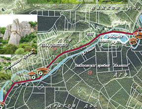
the second fork, to the left of Momina Salza
Hut, along a narrow forest path running parallel to Rachene River,
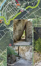
tourist will enter a canyon, part of an old Roman road which used
to connect Ulpia Escus and Serdika. The path passes through a
pine forest where, nearing the ridge, in addition to the amazing
flora, one can see remains of Roman houses and of the castle wall.
Kaleto Tectonic Ridge covers an area of 57.4 ha and is declared
a protected territory by virtue of Order ¹708/04.04.1961 of the
Forest Authority.
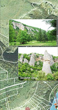
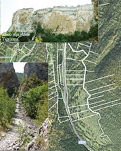
The unique natural phenomenon represents a region approximately
750 meters long, 30-40 m wide, with some 60 m flop. It is surrounded
on all sides by vertical rocks and can be accessed via a romantic
path running between them. The amazing diversity of geometric
rock formations is in complete contrast to the surrounding area.


